Maps and Atlases
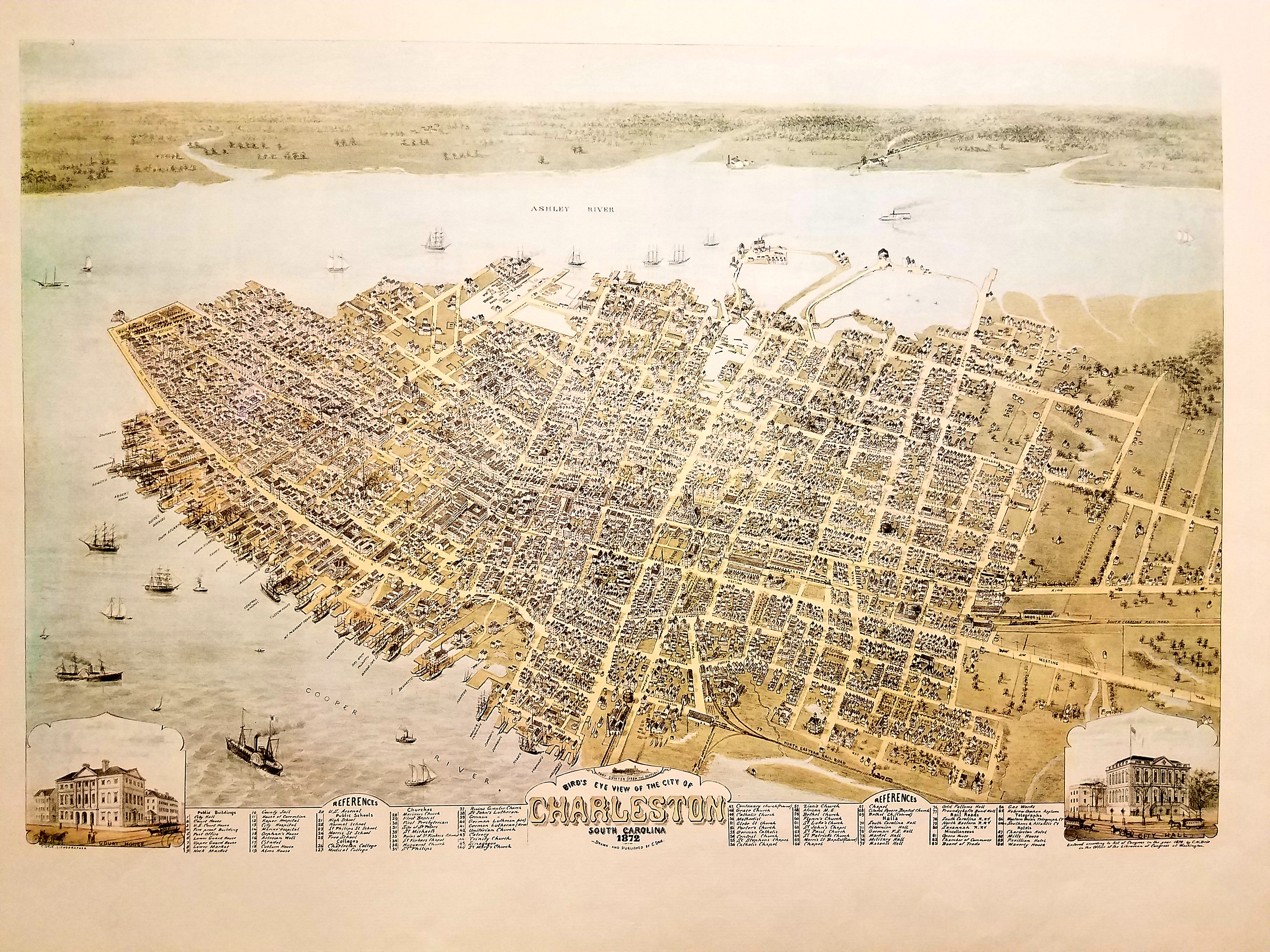
The Map and Government Information Library's (MAGIL) holdings include more than 3,000 atlases, 450,000 sheet maps, and 30 globes, many of which can be found by searching the Libraries' Catalog. The collections are self-service, with few exceptions, so researchers are also encouraged to explore our holdings in person.
MAGIL's sheet map collections include current and historical U.S. Geological Survey topographic maps for the entire US and its territories; topographic map sets for most countries at various scales; worldwide nautical and aeronautical charts; and select thematic, country and city maps from around the world with an emphasis on the United States and the State of Georgia.
Our Map Reference Resources and Online Maps guides provide links to additional online map resources. If you are interested in learning if we hold a particular map, please submit your inquiry to the UGA Libraries' contact form.
For further information about specific map collections, see:

