Wednesday, March 20, 2024 10:30am-12pm
McBay Science Library, Room 217
w/Drone Demonstration Flight at 1:00pm outside Hardman Hall (weather permitting)
Attend the talk, drone flight, or both. No registration required. Open to all.
This presentation by Dr. Sergio Bernardes will delve into the dynamic world of drone technology, showcasing its versatility and impact across multiple fields. From tailored customizations to innovative data collection techniques, attendees will gain insights into advancements in drone technology and their applications at the Disruptive Geospatial Technologies Lab/Center for Geospatial Research, at UGA (digtl.uga.edu). Discover how drones are revolutionizing data acquisition with remote sensors, capturing high-resolution images and point clouds to facilitate spectral and spatial analysis. Learn how this data is harnessed for in-depth analysis, visualization, and diverse applications, ranging from agriculture and environmental monitoring to infrastructure management, historical heritage preservation and disaster response.
Participants will also learn how UGA Libraries supports drone technology and GIS research at UGA. Andrew Johnson, Emerging Technologies Librarian, will discuss utilizing the McBay Science Library Makerspace to create custom drone mounts for data collection and technologies to create landscapes from GIS data. Meagan Duever, GIS Librarian, will discuss how the Department of Research and Computational Data Management unit can help connect participants to resources to support their GIS research, as well as analysis and visualization services.
About the speaker:
Dr. Sergio Bernardes is an FAA-certified remote pilot and geospatial scientist with 35+ years of experience designing and implementing projects that use digital methods to help represent and explain the world around us. His extensive career spans across academia, industry, and government, with a focus on using remote sensors to capture and explain location and time-related phenomena. At UGA, he is the Associate Director for the Center for Geospatial Research and directs the Disruptive Geospatial Technologies Laboratory (digtl.uga.edu). Since 2016, DiGTL has introduced cutting-edge technologies such as drone-based remote sensing, digital 3D reconstruction, augmented/virtual reality, and artificial intelligence to more than 9,000 community members through demonstrations, events, and educational courses. Dr. Bernardes' interdisciplinary works create opportunities for mentorship, immersive learning experiences, and support for students from diverse academic backgrounds.
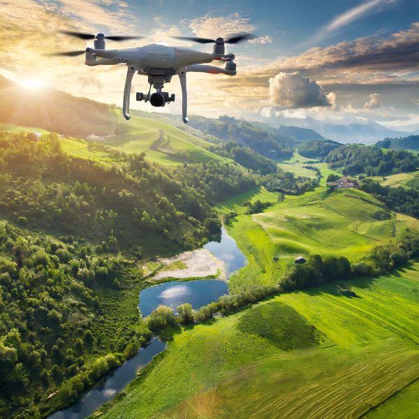
*image created with Adobe Firefly AI text-to-image feature: prompt, drone flying and collecting environmental data over a green lush landscape