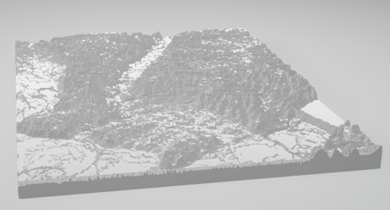
In this 90-minute project-based workshop, learn to locate a topographic dataset for an area of interest from the USGS’s National Map 3DEP Lidar Explorer; import, define, and create an image of your desired landscape in QGIS (a free, open source geographic information system software); export and create a 3D model from that image file in Blender (a free, open-source 3D creation software); and how-to export that model to the makerspace’s 3D printers to bring your once, two-dimensional topographical image into envy-creating three-dimensional 3”x3”x3” desk candy.
This workshop will be co-taught by GIS Librarian, Meagan Duever of Research & Computational Data Management and Emerging Technologies Librarian, Andrew Johnson of Research & Instruction.
No experience with noted software or 3D printing necessary. Open to all undergraduate and graduate students. Space limited. Reservations required. Please sign up on the McBay Science Library Makerspace web page’s calendar.
This workshop may be of particular interest to students in Geography, Forestry & Natural Resources, and Geology conducting field work and looking to create a more dynamic poster session with the addition of a three-dimensional object of their research site, artists incorporating landscapes into their works, or avid hikers of any discipline. A waitlist is enabled to gauge interest for possible future workshops.